

Advanced Classes
Boat Handling curriculum is comprises of a six-part course and six seminars and covers these topics:
- Rules of the Road: A Practical Approach
- Confidence in Docking and Undocking: Slow Speed Maneuvering
- Boating with Confidence: Handling Your Boat Under Way
- Anchoring with Assurance: Don't Get Carried Away
- Emergencies on Board: Preparation for Handling Common Problems
- Knots and Line Handling: The Knots You Need to Know
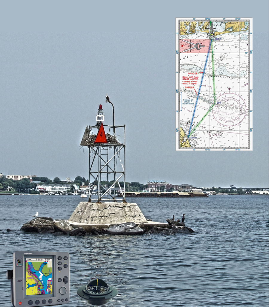
Marine Navigation is the first course in the sequence of USPS courses on navigation, covering the basics of coastal and inland navigation. This course focuses on navigation as it is done on recreational boats today and embraces GPS as a primary navigation tool while covering enough of traditional techniques so the student will be able to find his/her way even if their GPS fails.
Topics covered include:
- Charts and their interpretation
- Navigation aids and how they point to safe water
- Plotting courses and determining direction and distance
- The mariner’s compass and converting between True and Magnetic
- Use of GPS – typical GPS displays and information they provide, setting up waypoints and routes, staying on a GPS route.
- Pre-planning safe courses and entering them into the GPS
- Monitoring progress and determining position by both GPS and traditional techniques such as bearings and dead reckoning
- The “Seaman’s Eye” – simple skills for checking that one is on course.
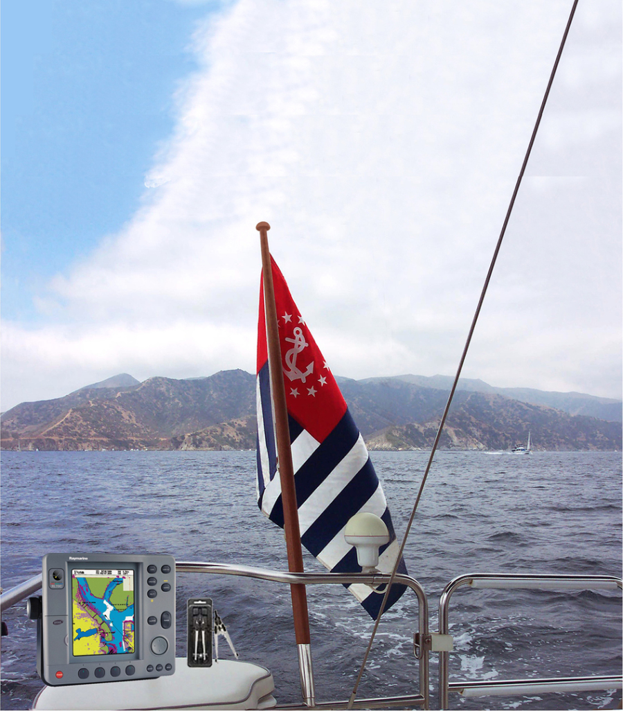
Advanced Marine Navigation is the second in the sequence of USPS courses on navigation. It continues to build coastal and inland navigation skill, allowing the student to take on more challenging conditions – unfamiliar waters, limited visibility, and extended cruises. GPS is embraced as a primary navigation tool while adding radar, chartplotters, and other electronic navigation tools.
Topics covered include:
- Review of skills learned in Marine Navigation (currently offered as Piloting)
- Advanced positioning techniques such as advancing a line of position
- Other electronics: radar, depth sounders, autopilots, chartplotters, laptop computer software, etc.
- Hazard avoidance techniques using electronics (e.g., “keep out” zones in GPS)
- Collision avoidance using radar and GPS
- Working with tides: clearances, depth, effects of current
- Piloting with wind and currents
- The “Seaman’s Eye” – simple skills for checking that one is on course
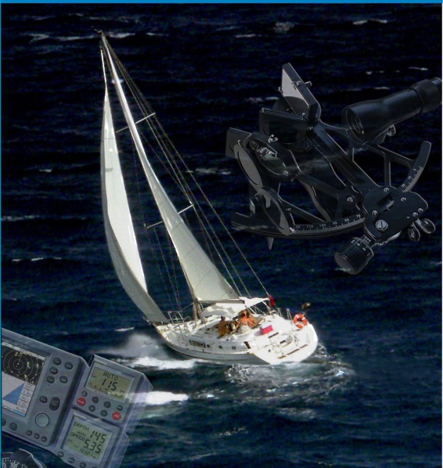
Offshore Navigation is the first in a two-part program of study in offshore navigation.
There are two examination elements for this course, the Sight Folder and an Open Book Exam.
Topics Covered Include:
- Precise time determination
- Use of the Nautical Almanac
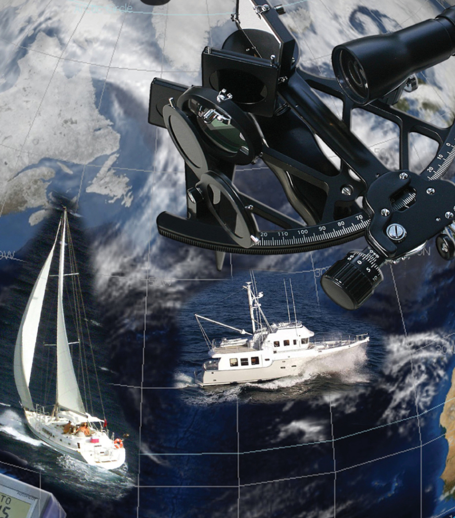
- Taking sextant sights of the sun
- Reducing sights to establish lines of position
- Special charts and plotting sheets for offshore navigation
- Offshore navigational routines for recreational craft
- Electronic and computerized offshore navigation
Celestrial Navigation is the second part of the study of offshore navigation, further developing the student's understanding of celestial navigation theory. This Navigation 2015 course deals with learning celestial positioning using other bodies, in addition to positioning using the sun (covered in the Junior Navigation course). This course also deals with electronic software tools that can be used to plan and execute an offshore voyage. There are two exam elements for this course, the Sight Folder and an Open Book Exam.
Please call 313-744-7472 for more information or to register for these classes